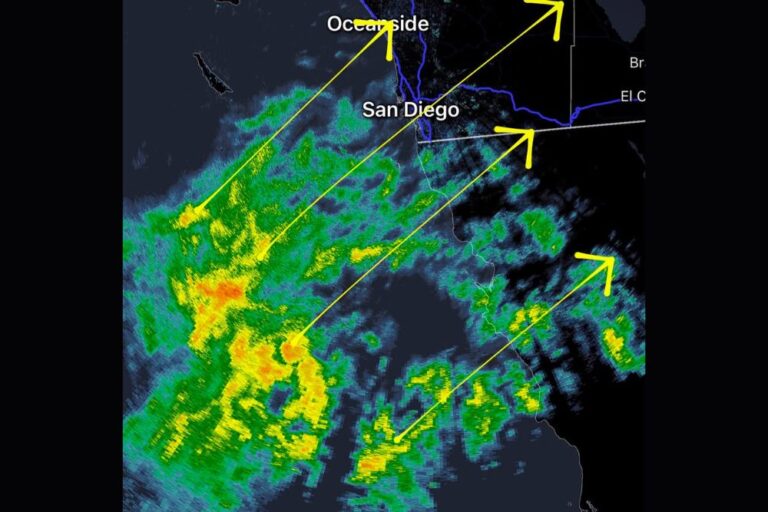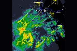

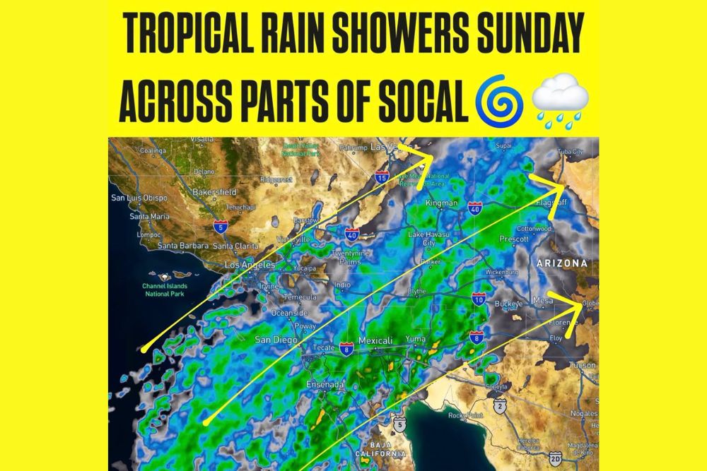
LOS ANGELES, CA — Tropical moisture from Hurricanes Polo and Odalys starts moving north into Southern California on Sunday. It will bring more clouds, noticeably higher humidity and a chance of showers to parts of the region. An upper-level disturbance moving across California is helping pull that moisture north. Forecasters still have a lot of uncertainty about how far northwest the deeper moisture will reach, and that keeps the forecast fluid through the day.
Spotty Showers Possible Across the Los Angeles Area
In the Los Angeles area, showers could form as early as Sunday morning, especially south of Point Conception. Rain is expected to be spotty rather than widespread. Many places could stay completely dry while nearby areas get a brief shower or a few sprinkles. Where rain does fall, amounts should be light, with less than 0.20 inch the most likely total. For most residents, Sunday will feel more like a muggy, cloudy day than a stormy one.
Unusually High Moisture With Wide Forecast Uncertainty
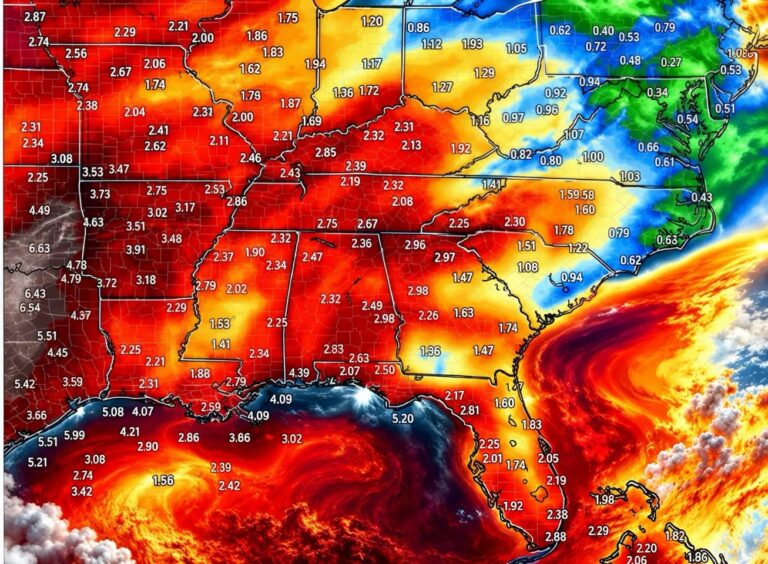
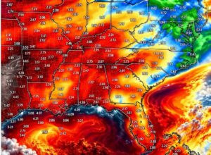
A big part of Sunday’s forecast story is how much moisture is in the air. The atmosphere could become unusually moist, and guidance shows precipitable water values from about 0.8 inch to 2 inches. Precipitable water is the total amount of water vapor in a column of air, and it helps forecasters judge how much rain a system could produce.
The wide spread between those numbers shows how uncertain the tropical moisture plume still is. If the higher values verify, some areas could see heavier bursts of rain. If the moisture stays shallow or shifts away, many places may notice little more than extra clouds and a sticky feel.
Orange, Riverside and San Diego Counties See Better Rain Chances
Farther south, moisture will also increase Sunday across Orange County, Riverside County and San Diego County. The overall chance of measurable rain here is medium. The better chances currently favor the mountains, the deserts and San Diego County, where the tropical flow is expected to be more direct.
The San Diego County mountains, the Riverside County mountains and the lower deserts, including the Coachella Valley, are among the places most likely to see a shower or an isolated thunderstorm. Even there, rain should generally stay light, with amounts around 0.20 inch or less where showers form. Stronger cells can still bring brief downpours, gusty winds and lightning, so anyone hiking or traveling in higher terrain should keep an eye on the sky.
Coastal and Valley Locations Face Lower Odds
Coastal communities and valley locations across Southern California have a lower chance of rain than the mountains and deserts. Clouds will likely thicken through the day, and the humidity will be noticeable, but many coastal and valley neighborhoods may never get a measurable drop.
That mix of widespread clouds and scattered rain is typical of tropical moisture surges into the region. Showers often pop up in narrow bands or over higher ground, so one neighborhood can get a quick shower while the next stays dry. Residents shouldn’t expect steady rain, even where skies look dark and threatening for hours.
Sunday Outlook Points to a Humid Tropical Feel
Sunday does not look like a washout for Southern California, and many areas should stay dry through the day. Instead, the region can expect a clearly more tropical feel, with more clouds and humidity along with scattered, generally light showers. The best chance of rain is still across the mountains and deserts, while coastal and valley areas have lower odds.
Outdoor plans can mostly go ahead, but it makes sense to keep a light rain jacket nearby and check radar before heading out. That’s especially true in mountain and desert communities, where isolated storms are most likely to form.
Forecast Confidence Remains Low
Forecast confidence is still relatively low. Small shifts in the tropical moisture plume could significantly change where showers end up forming. A slightly more northern or western track could spread rain chances farther toward Los Angeles and areas beyond Point Conception. A shift south or east could keep most of the activity over San Diego County and the deserts.
Residents across Los Angeles, Orange, Riverside and San Diego counties should check updated forecasts through Sunday as the system develops. The situation could change quickly as the moisture from Hurricanes Polo and Odalys moves north.
For continuing coverage of tropical moisture, rain chances and weather across Southern California and the rest of the United States, visit diamondprowl.com.