BIRMINGHAM, AL — Cool, comfortable mornings are back across Alabama, and there’s more pleasant weather ahead before the next big pattern change arrives about a week from now. Some spots even reported temperatures in the upper 40s early Sunday morning, giving residents a real taste of fall. Another cool and comfortable night is expected. Afternoon heat will gradually build through the week, but mornings should stay pleasant. Attention then turns to late week and next weekend, when the next cold front approaches the Deep South with rain and storm chances, followed by another surge of cooler air around October 6–7.
Pleasant Mornings With Gradually Warming Afternoons
Mornings across Alabama, Mississippi and Georgia should stay comfortable through much of the week, with a crisp, early-fall feel after sunrise. Afternoons will be a different story. The heat will slowly build each day, and highs will climb as the week goes on.
That combination of cool mornings and warm afternoons is classic early autumn in the Deep South. It’s a good stretch for outdoor activities, yard work and evening plans before the weather turns more unsettled closer to the weekend.
Forecast Models Disagree on the Timing
The biggest forecast question centers on when the next cold front arrives and brings rain back to the region. Forecast guidance still shows some timing differences, and the two major global models are telling somewhat different stories.
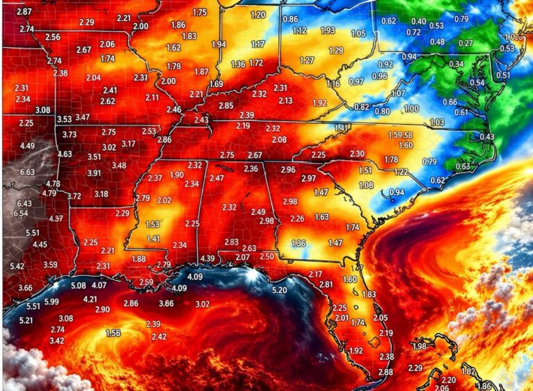
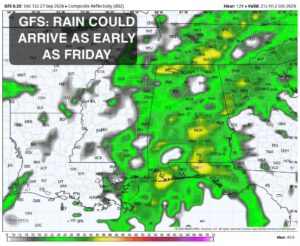
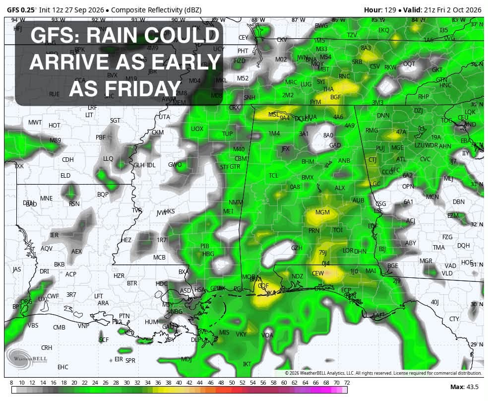
The GFS model brings rain and storm chances in as early as Friday. Its output shows a broad area of showers and thunderstorms across Mississippi, Alabama, western Georgia and parts of Tennessee, with pockets of heavier rain showing up over central and southern Alabama and near the Gulf Coast.
Euro and Ensembles Favor a Later Arrival
The European model and much of the ensemble guidance hold the system back until closer to next Sunday. In that scenario, higher rain chances would not arrive until the end of the weekend. Friday and much of Saturday would stay drier across Alabama, Mississippi, Louisiana and the Florida Panhandle.
Forecasters have the most confidence in the later scenario, which lines up with the European model and the ensemble guidance. Still, the specifics aren’t locked in, and residents should check back for updates as the timing becomes clearer over the next several days.
What the Rain Could Mean Across the Deep South
Whether the front arrives Friday or Sunday, it’s expected to bring a round of showers and thunderstorms across the region. The GFS guidance shows rain spreading across a wide stretch of the Southeast, from northern Mississippi and northern Alabama south toward Mobile, the Alabama Gulf Coast and the Florida Panhandle, and east into Georgia.
For weekend planners, the timing difference matters. High school football games, outdoor festivals, tailgates and fall events on Friday night could be affected if the faster GFS solution verifies. If the slower European scenario plays out, Friday and Saturday may stay mostly dry, with rain holding off until Sunday.
Another Surge of Cooler Air Around October 6–7
Behind the front, forecast guidance keeps showing a strong signal for another surge of cooler air around October 6–7. Temperature outlook maps show a broad area of below-normal temperatures spreading across the eastern United States, including the Southeast, Ohio Valley and Mid-Atlantic, while the western United States stays warmer than normal.
For Alabama, Mississippi and Georgia, that could mean a return of crisp, cool mornings and more comfortable afternoons early next week. It would be yet another step deeper into fall, following the cool mornings the region is enjoying now.
Stay Tuned as the Forecast Comes Into Focus
With timing differences still in the guidance, the forecast for late week and next weekend may shift as the front gets closer. Residents across Alabama and the surrounding Deep South should keep checking updated forecasts, especially anyone with outdoor plans Friday through Sunday. For now, enjoy the cool mornings, expect warmer afternoons, and get ready for another taste of fall early next week.
For continuing coverage of the upcoming cold front and weather developments across the Southeast and the United States, visit diamondprowl.com.