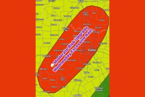
OKLAHOMA CITY, OK — A significant stretch of heavy rain is shaping up across the Southern Plains and Gulf Coast, and projected totals through next weekend keep climbing across Texas and Oklahoma. The latest forecast guidance shows the heavier pockets in both states picking up 5 to 7 inches or more, which raises concern for flooding in areas that get repeated rounds of rain. The biggest rain event looks to arrive mid to late next week, when a surge of moisture is expected to spread across the South. Louisiana, Mississippi, Alabama and the rest of the Gulf Coast are also in line for a solid soaking.
Texas and Oklahoma Face the Heaviest Totals
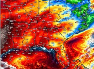
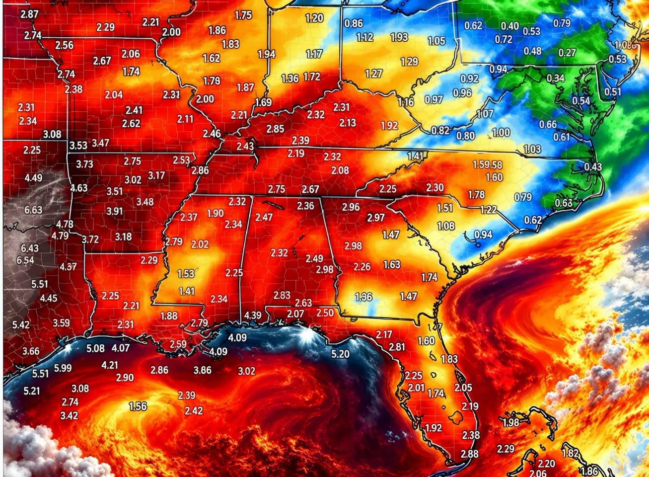
The highest projected rainfall is centered over parts of Texas and Oklahoma, where model output shows widespread totals of 2 to 4 inches with heavier pockets of 5 to 7 inches or more. Across central and southern Oklahoma, several model values run from roughly 5.1 to 7.3 inches. That makes it one of the wettest-looking areas on the map.
In eastern and southeastern Texas, projected amounts reach the 6 to 6.6 inch range in spots, and many surrounding areas show 3 to 5 inches. Rainfall like this, spread over several days, can saturate soils, overwhelm drainage systems and push creeks and rivers out of their banks. If these heavier totals keep showing up in future model runs, flooding concerns will only grow across both states.
Gulf Coast Could See 2 to 5 Inches or More
Along the Gulf Coast, projected totals of 2 to 5 inches or more are showing up in spots. Model data points to about 5 to 6 inches near the upper Texas Gulf Coast, around 5 inches near southwest Louisiana, and about 4 inches near the Mississippi and Alabama coastlines. Offshore, deep tropical moisture across the Gulf is helping fuel the setup and supplying plenty of water for rain-producing storms.
Coastal communities from Houston and Beaumont to Lake Charles, New Orleans, Gulfport and Mobile should keep a close eye on forecast updates. Heavy rain falling on flat, low-lying terrain near the coast can quickly lead to street flooding and ponding on highways.
Louisiana, Mississippi and Alabama in Line for a Soaking
Farther inland, Louisiana, Mississippi, Alabama and nearby areas could also get a solid soaking. Much of this region shows projected totals of about 2 to 3 inches, with locally higher amounts possible where storms train over the same areas. Arkansas and Tennessee also look to see widespread totals of 2 to 4 inches in several spots.
That much rain could help areas dealing with dry conditions. Still, residents should stay alert for localized flooding, especially in urban areas, low-water crossings and places with poor drainage.
Much Less Rain Farther East
The rain won’t be spread evenly. Areas farther east are expected to get considerably less. Projected totals drop off across parts of Georgia, South Carolina, North Carolina and Virginia, where some spots show less than 1 inch through next weekend.
That sharp west-to-east contrast shows how focused the heaviest moisture is expected to be over the Southern Plains and western Gulf Coast rather than the Atlantic Seaboard.
Mid to Late Next Week Brings the Biggest Rain Event
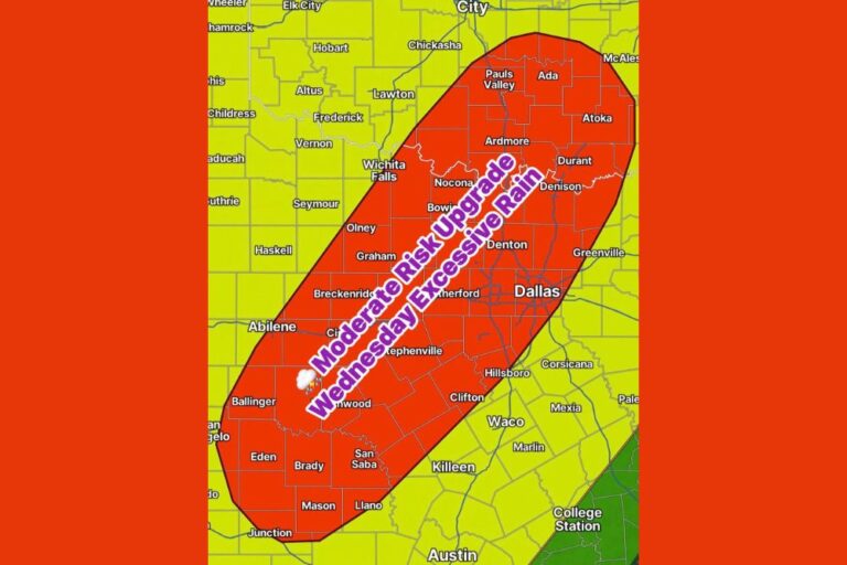
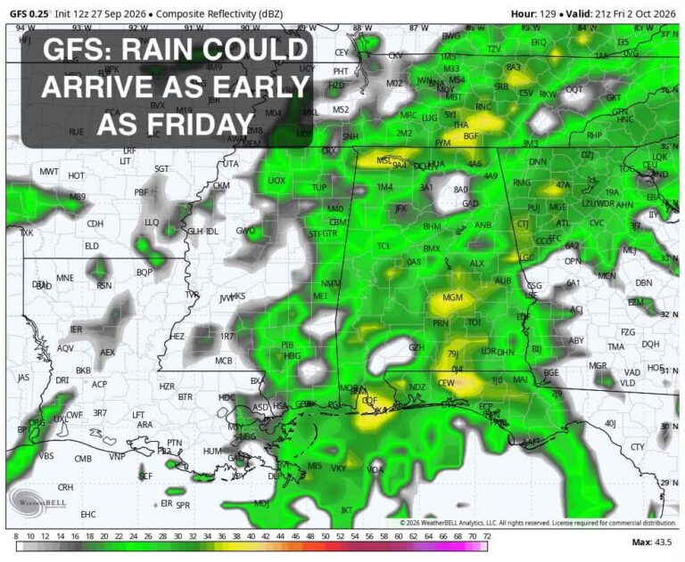
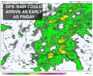
While some rain may fall earlier, forecasters are highlighting mid to late next week as the period when the heaviest rain is most likely. That’s when deeper moisture is expected to surge across the South, raising the risk of heavy downpours, flash flooding and rising rivers across Texas and Oklahoma.
Residents should take time now to clear gutters and storm drains, check sump pumps, and review whether their home or business sits in a flood-prone area. Anyone without flood insurance may want to look into coverage, since most standard homeowners policies don’t cover flood damage.
Projected Totals Could Still Shift
It’s important to remember that these are projected rainfall totals through next weekend, not guaranteed amounts. Exact totals and the location of the heaviest bullseyes can and likely will shift as the pattern develops and forecast models get a better handle on the setup. Small changes in the storm track could move the heaviest rain north, south, east or west of where it currently shows up.
Residents across Texas, Oklahoma, Louisiana, Mississippi and Alabama should keep checking forecasts from their local National Weather Service offices through the week. And always remember: turn around, don’t drown when you come across flooded roads.
For continuing coverage of this heavy rain setup and weather developments across the South and the United States, visit diamondprowl.com.