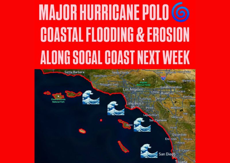
LOS ANGELES, CA — Southern California beaches are bracing for another significant hit from the extremely active eastern Pacific hurricane season, with hurricane-generated swells tied to Major Hurricane Polo expected to build along the coast this weekend and potentially peak early next week. Long-period southerly swell will increasingly reach the coastline, with the greatest concern spanning Sunday through Tuesday, arriving at the same time as unusually high tides and significantly raising the risk of coastal flooding, powerful surf, dangerous rip currents, and additional beach erosion.
High Chance of Coastal Flood Advisories
Forecasters say there is a high chance that Coastal Flood Advisories will eventually be needed for the region, with shallow seawater flooding possible across vulnerable beachfront roads, parking lots, and walkways as the swell and high tides combine. A more significant coastal flooding scenario cannot be ruled out if the larger swells overlap with the highest tides of the cycle, a combination that could potentially result in water reaching structures and produce more substantial beach erosion than typical swell events in the region.
This kind of compounding risk, where elevated surf coincides with peak tidal levels, is exactly the scenario coastal forecasters watch most closely, since the two factors together can push water levels well beyond what either would produce independently.
San Diego and Orange County Face 3+ Foot Swell
Along the San Diego and Orange County coastline, forecasters expect southerly swell of 3 feet or more with periods of 12 to 15 seconds, arriving alongside high tides climbing to around 6.5 to 7 feet from Sunday through Tuesday. South-facing beaches across this stretch could see wave sets above 5 feet as early as Sunday, with Monday and Tuesday potentially becoming even more impactful depending on Hurricane Polo’s exact track and the resulting swell energy reaching the coastline.
South-facing beaches across both Orange and San Diego counties will be especially important to monitor as the swell arrives, given their direct exposure to the incoming southerly wave energy generated by the distant hurricane.
Los Angeles Area Swells Expected to Peak Monday and Tuesday
Farther north toward Los Angeles, swells generated by Hurricane Polo are expected to peak Monday and Tuesday, coinciding with late-morning high tides approaching 7 feet from Monday through Wednesday. This combination of peak swell timing and elevated tides creates an extended window of heightened coastal risk for the Los Angeles area, with impacts potentially persisting slightly longer than the concern window identified farther south.
Areas identified as particularly vulnerable include Long Beach, especially the Peninsula and Belmont Shore neighborhoods, along with Avalon, Malibu, and possibly Santa Barbara Harbor. These locations share characteristics that make them more susceptible to swell-driven flooding and erosion, including their orientation relative to incoming southerly swell and their history of vulnerability during past high-surf events.
Already Weakened Coastline Faces Further Erosion Risk
The Southern California coastline has already experienced substantial erosion in recent weeks, meaning this next round of elevated water levels and energetic surf could worsen conditions at beaches that have not yet recovered from earlier impacts this season. This cumulative erosion risk is a significant factor forecasters are tracking, since beaches with already-diminished sand buffers tend to be more vulnerable to further damage when new swell events arrive before natural recovery has occurred.
Coastal communities throughout the region, from Santa Barbara down through San Diego, are advised to stay closely tuned to updated forecasts as Hurricane Polo’s track continues to be refined, since the storm’s exact path will play a significant role in determining the ultimate swell heights and timing along different stretches of the Southern California coast heading into next week.
For continuing coverage of severe weather events and critical storm analysis across the United States, visit diamondprowl.com.