BIRMINGHAM, AL — Long-range model guidance is beginning to hint at a genuinely chilly night across north Alabama, with the GFS model showing temperatures potentially dropping into the mid-40s by Wednesday, October 7. Forecasters are cautiously optimistic about the possibility, though they emphasize that the first priority remains securing some much-needed rainfall before entertaining the idea of the model’s cooler temperature signal holding true in the coming weeks.
Northern Alabama Could See the Coolest Readings
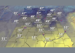
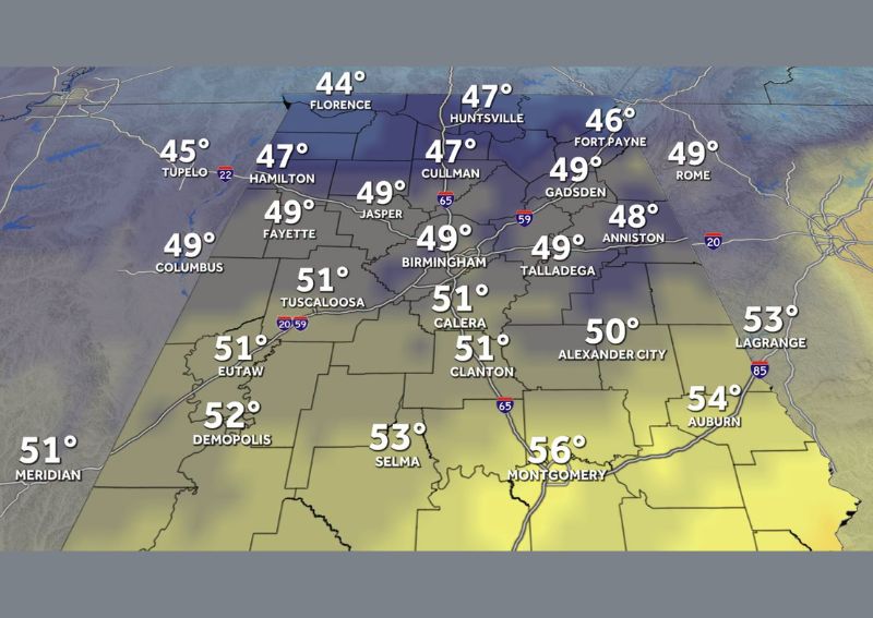
According to the latest GFS model projection, the coolest temperatures across the state would be concentrated in north Alabama, with Florence potentially seeing lows around 44 degrees and nearby Huntsville and Cullman both projected near 47 degrees. Tupelo, just across the state line, is also shown in the same cool pocket with projected lows around 45 degrees, reflecting how this chilly air mass would primarily settle across the northern tier of the state if the forecast holds.
This kind of temperature distribution, with the coolest readings concentrated in the northernmost counties, is typical of early-season cold air intrusions into Alabama, as colder air masses generally arrive from the north and have the most pronounced impact on temperatures before moderating as they push farther south.
Central Alabama Sees Milder but Still Cool Readings
Moving into central Alabama, projected temperatures remain cool but noticeably milder than the far northern counties, with Birmingham forecast near 49 degrees and Tuscaloosa slightly warmer at 51 degrees. Communities including Gadsden, Anniston, and Talladega show similar readings in the 48 to 49 degree range, indicating that even central portions of the state would experience a meaningful and noticeable cool down if this model guidance ultimately verifies.
Southern Alabama Stays Comparatively Warmer
Farther south, projected temperatures remain milder, with Montgomery showing a forecast low around 56 degrees and Selma slightly cooler at 53 degrees. Auburn and LaGrange, positioned toward the eastern edge of the outlook, are both projected in the 53 to 54 degree range, illustrating the expected north-to-south temperature gradient that would accompany this potential early-season cool down across the state.
Rain Comes First, Cold Air Remains a Longer Shot
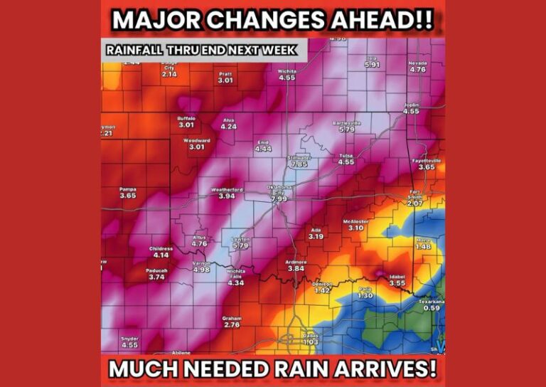
Despite the intriguing temperature signal shown in the current GFS model run, forecasters are careful to frame this as a longer-range possibility rather than a confirmed outcome. The immediate priority remains securing meaningful rainfall for the region, with any discussion of a genuinely cold night still considered a hopeful, longer-range scenario that will require continued model consistency before it can be treated as a reliable forecast for early October.
Forecasters plan to continue monitoring subsequent model runs to see whether this cooler signal persists as the forecast period draws closer, while keeping the primary focus on the more immediate and pressing need for rain across drought-affected portions of Alabama in the coming days.
For continuing coverage of severe weather events and critical storm analysis across the United States, visit diamondprowl.com.