


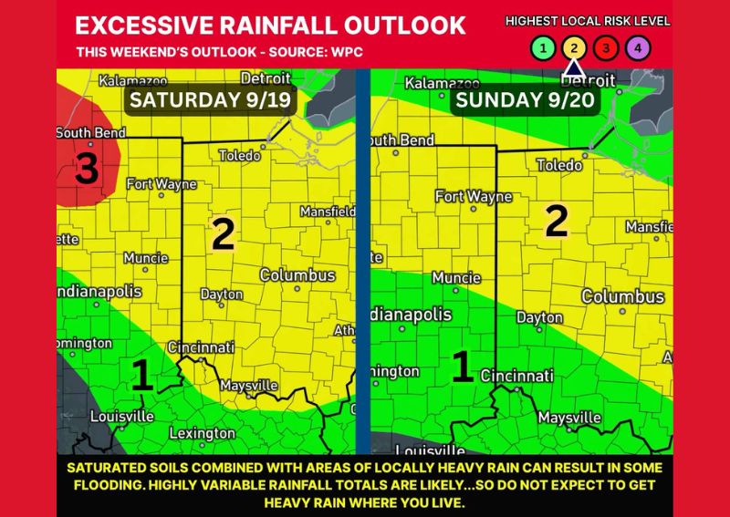
COLUMBUS, OH — The Weather Prediction Center has placed much of Ohio under a Level 2 Slight Risk for excessive rainfall on both Saturday and Sunday, with forecasters warning that localized flood concerns could develop across the state through the weekend. As of Thursday evening, no flood watches were in effect, though officials noted that changes to that status remain possible as the weekend approaches and rainfall patterns become clearer.
Rainfall Expected to Be Highly Uneven
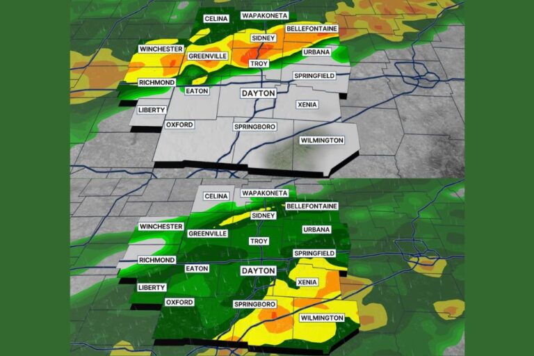
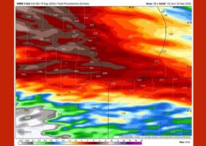
Forecasters emphasize that while heavy rain is possible across the region, it will not fall evenly or continuously throughout the weekend. Some areas of Ohio could see rainfall totals reach between 1 and 3 inches, while other nearby locations may receive 0.5 inches or less during the same period. This kind of highly variable rainfall distribution is typical of setups involving scattered heavy downpours rather than widespread steady rain, making it difficult to predict exactly where the heaviest totals will fall.
Saturday Outlook Across the State
On Saturday, the Level 2 Slight Risk zone stretches across a broad swath of central and northern Ohio, including Columbus, Dayton, Fort Wayne, and Mansfield. A Level 3 Moderate Risk area is highlighted farther northwest near South Bend, indicating a higher likelihood of locally significant rainfall in that corner of the region. Areas farther south, including Cincinnati, Louisville, and Lexington, fall within a lower Level 1 Marginal Risk category for the day.
Sunday Risk Shifts Slightly Eastward
The Level 2 Slight Risk designation continues into Sunday, again covering much of central Ohio including Fort Wayne, Columbus, and Dayton, with the zone shifting somewhat compared to Saturday’s setup. The Level 1 Marginal Risk area persists across the southern tier of the outlook region, including Cincinnati, Indianapolis, and Maysville, suggesting a continued but reduced chance of locally heavy rainfall in those areas as the weekend progresses.
Saturated Soils Raise Flooding Concern
Officials note that the combination of already-saturated soils in parts of the region and any areas of locally heavy rain could result in flooding, even in spots that do not see the heaviest overall totals. Because rainfall amounts are expected to vary significantly from one location to the next, residents throughout Ohio are advised not to assume they will avoid heavy rain simply because a nearby community reports lighter totals, and to stay alert to updated forecasts throughout the weekend.
For continuing coverage of severe weather events and critical storm analysis across the United States, visit diamondprowl.com.