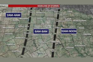
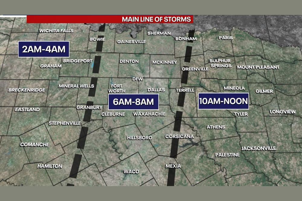
FORT WORTH, TX — A main line of storms is quickly organizing in West Texas and is expected to sweep east across North Texas over the coming hours. The Dallas–Fort Worth Metroplex should see the storms arrive between about 6 a.m. and 8 a.m. The line is forecast to reach areas west of the Metroplex first, between 2 a.m. and 4 a.m., before pushing into East Texas between 10 a.m. and noon. Within the Metroplex, western Tarrant and Denton counties will see storms closer to 6 a.m., while eastern Collin and eastern Dallas counties can expect them closer to 8 a.m.
Storms Arrive West of the Metroplex Overnight
The first part of the storm line is expected to reach communities west of the Dallas–Fort Worth area between 2 a.m. and 4 a.m. That window covers Wichita Falls, Bowie, Bridgeport, Graham, Breckenridge, Mineral Wells, Eastland, Stephenville, Comanche, Hamilton, Coleman and the Abilene area.
Because the storms will hit these areas in the middle of the night, residents should have a way to receive warnings while they sleep, such as a NOAA Weather Radio or Wireless Emergency Alerts on their phones.
Metroplex Arrival Between 6 and 8 AM
The line is expected to reach the Dallas–Fort Worth Metroplex between 6 a.m. and 8 a.m., right as the morning commute begins. This window includes Fort Worth, Dallas, Denton, McKinney, Gainesville, Sherman, Granbury, Cleburne, Waxahachie, Hillsboro and Waco.
The western side of the Metroplex, including western Tarrant County and Denton County, will likely see storms closer to 6 a.m. Eastern Collin County and eastern Dallas County should see them closer to 8 a.m.
Morning Commute Could Be Messy
With storms moving through during rush hour, drivers should expect heavy rain, reduced visibility, standing water and slower travel across the Metroplex. Major routes including Interstate 35, Interstate 30, Interstate 20, U.S. Highway 75 and the President George Bush Turnpike could see significant delays.
Commuters should think about leaving early, delaying travel until the line passes, or working from home if possible. Never drive through flooded roads, and keep extra distance between vehicles during heavy downpours.
East Texas Gets Storms Late Morning
After moving through the Metroplex, the storm line is expected to reach East Texas between 10 a.m. and noon. That window includes Bonham, Paris, Greenville, Sulphur Springs, Mount Pleasant, Terrell, Mineola, Gilmer, Tyler, Longview, Athens, Corsicana, Mexia, Palestine and Jacksonville.
Residents in these areas will have a few more hours to get ready, but they should still keep an eye on the line as it approaches.
What to Expect as the Line Moves Through
As the storms pass, residents can expect bursts of heavy rain, frequent lightning and gusty winds. Given the heavy rain across North Texas this week, flash flooding remains a concern, especially in urban areas and near creeks and low-water crossings.
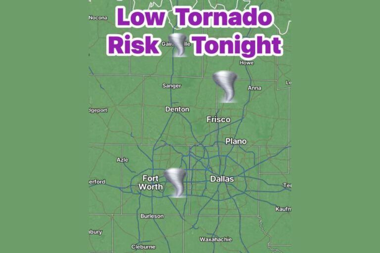
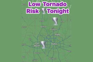
Earlier forecasts also mentioned a low-end tornado risk across North Texas, so residents should stay alert for any warnings as the line moves through.
Stay Weather Aware
Keep phones charged, turn on Wireless Emergency Alerts, and know where your safe place is in case a warning is issued. Follow updates from the National Weather Service in Fort Worth through the morning.
For continuing coverage of storms across North Texas and weather developments across the United States, visit diamondprowl.com.