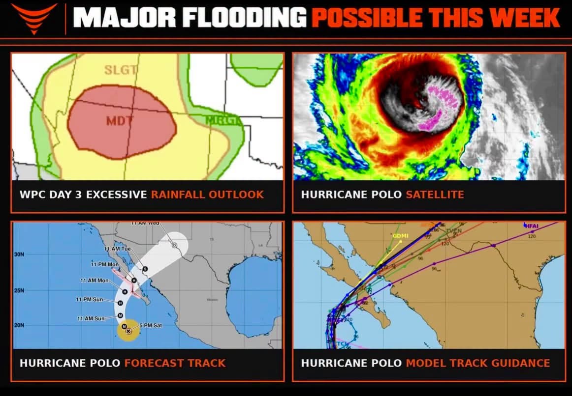
FOUR CORNERS REGION — Major flooding is possible with a textbook predecessor rainfall event, sometimes referred to as a PRE, expected Monday in the Desert Southwest, arriving ahead of two hurricanes churning in the eastern tropical Pacific and fueled in part by a historic El Niño pattern. Forecasters are watching a Day 3 Moderate Risk for excessive rainfall centered directly over the Four Corners region, including the flash-flood-prone Grand Staircase of Utah.
Moderate Risk Centers on the Four Corners Area
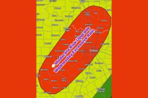
The WPC Day 3 Excessive Rainfall Outlook shows a Moderate Risk zone concentrated squarely over the Four Corners region, where Arizona, Utah, Colorado, and New Mexico meet, surrounded by a broader Slight Risk area extending across a larger portion of the Desert Southwest. This layered risk structure, with a smaller, more intense zone nested within a larger area of elevated concern, reflects forecasters’ confidence that the highest rainfall totals and greatest flooding danger will be most concentrated within that central Moderate Risk footprint.
Grand Staircase Among the Most Vulnerable Areas
Specific attention is being given to the Grand Staircase region of Utah, an area well known among meteorologists and outdoor recreationists alike for its extreme vulnerability to flash flooding. The area’s characteristic slot canyons, narrow washes, and steep terrain make it particularly susceptible to rapid water accumulation during heavy rainfall events, as water funnels quickly through confined spaces with little warning for anyone caught inside these formations when flooding develops.
A Predecessor Rain Event Tied to Distant Hurricanes
Forecasters describe the setup as a textbook predecessor rainfall event, a well-documented meteorological phenomenon in which moisture and lift associated with a tropical system well ahead of its actual track combine with other atmospheric features to produce significant rainfall far removed from the storm’s center. In this case, the predecessor event is developing ahead of two hurricanes currently active in the eastern tropical Pacific, with their combined moisture contribution helping fuel the potential for major flooding across the Desert Southwest.
Hurricane Activity Linked to Historic El Nino Pattern
Meteorologists note that the unusually active hurricane activity currently observed in the eastern tropical Pacific is being fueled in part by a historic El Niño pattern, which has helped create favorable conditions for tropical cyclone development and intensification across the basin. This same El Niño-driven environment is contributing to the broader atmospheric setup now threatening to bring major flooding to the Desert Southwest well ahead of any direct storm track reaching the region.
Residents Urged to Prepare for a Significant Event
Given the Moderate Risk designation and the specific concern surrounding flash-flood-prone terrain like the Grand Staircase, residents and visitors throughout the Four Corners region are being urged to prepare for a potentially significant flooding event heading into Monday. Anyone with plans involving slot canyons, washes, or other low-lying terrain in the affected area should closely monitor forecasts and be prepared to adjust plans given the elevated risk of rapid, dangerous flash flooding across this stretch of the Desert Southwest.
For continuing coverage of severe weather events and critical storm analysis across the United States, visit diamondprowl.com.