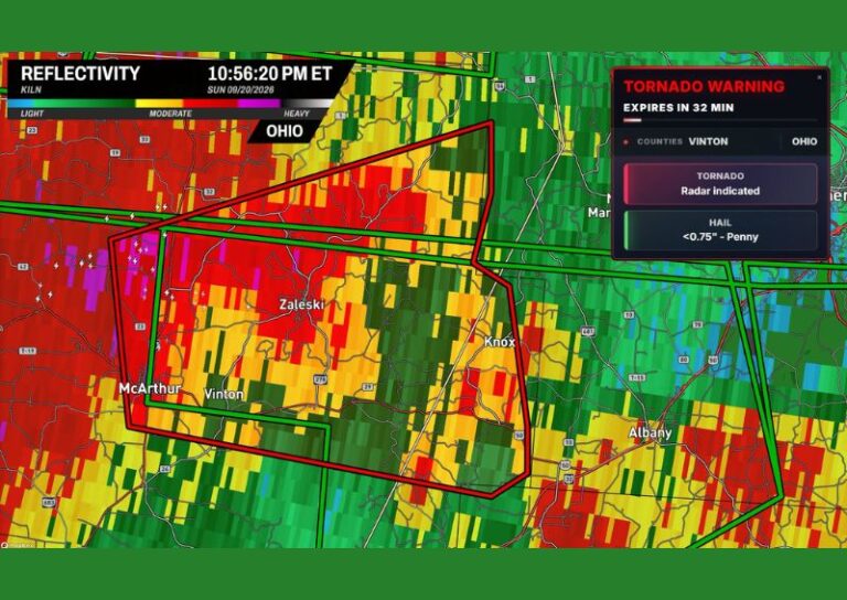
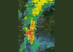

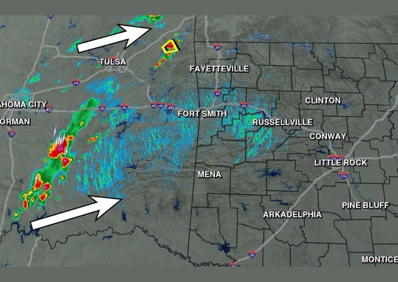
FORT SMITH, AR — A long-awaited cold front is finally progressing into the region this Sunday afternoon, bringing an increase in thunderstorm activity across Oklahoma and parts of western Arkansas. Radar imagery shows storms tracking across Oklahoma, including an active severe thunderstorm warning in effect just west of Northwest Arkansas near Fayetteville, as the front continues its long-anticipated push through the region after weeks of persistent heat.
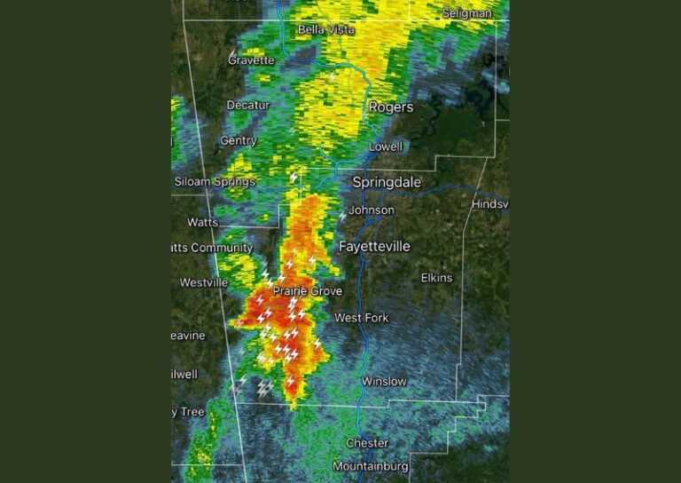
Severe Storm Warning Active West of Fayetteville
A severe thunderstorm warning was in effect as of 2:56 PM Sunday for an area west of Fayetteville, with radar showing a well-defined storm cell tracking toward the Arkansas border from eastern Oklahoma. This warned storm represents the most immediate concern associated with the approaching cold front, as forecasters continue monitoring its intensity and track as it moves closer to communities along the Oklahoma-Arkansas state line.
Activity Expected to Linger Into Western Arkansas Tonight
Forecasters indicate that some of the storm activity currently tracking across Oklahoma is expected to linger into western Arkansas later Sunday night, affecting areas near Fort Smith and Mena. However, meteorologists are careful to note that this is not considered a certainty, characterizing it instead as activity that could reach the western part of the state without guaranteeing widespread coverage across the entire region.
Low End Chances Continue Into Monday
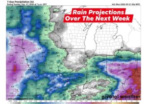
Beyond Sunday night’s activity, forecasters are calling for continued but low-end scattered rain and thunderstorm chances across Arkansas again on Monday. This kind of diminishing, scattered coverage is typical in the days immediately following a frontal passage, as the atmosphere gradually stabilizes and moisture levels decrease compared to the more organized activity accompanying the front’s initial arrival into the region.
Temperature Relief Expected Starting Tuesday
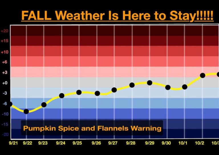
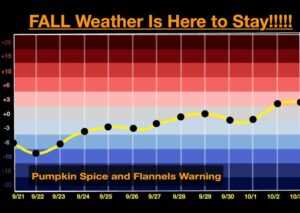
The most significant impact of this cold front’s passage is expected to show up in temperatures beginning Tuesday, as the airmass shift finally delivers a break from the extreme heat that has persisted across Arkansas in recent weeks. Forecasters describe this upcoming cool down as a welcome and overdue change, with temperatures expected to more accurately reflect the passage of the front once it fully clears the region heading into the new work week.
For continuing coverage of severe weather events and critical storm analysis across the United States, visit diamondprowl.com.