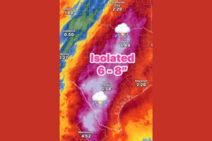
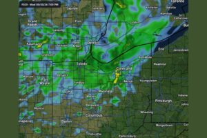
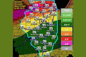
LANSING, MI — Michigan is facing two major weather hazards over the next week: heavy rain first, followed by a sharp turn to colder temperatures. From Wednesday through Friday, tropical moisture from the remnants of Hurricane Polo in the Pacific will stream into the Great Lakes. Rainfall totals could range from half an inch to perhaps 3 inches or more. By the end of the weekend, much colder air takes over. Highs will fall into the 40s to low 60s, and overnight lows across northern Michigan may drop below freezing several nights in a row, bringing more frost advisories and freeze warnings.
Heavy Rain Targets Southern Lower Michigan
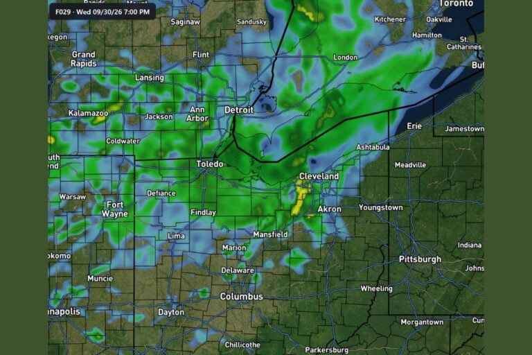
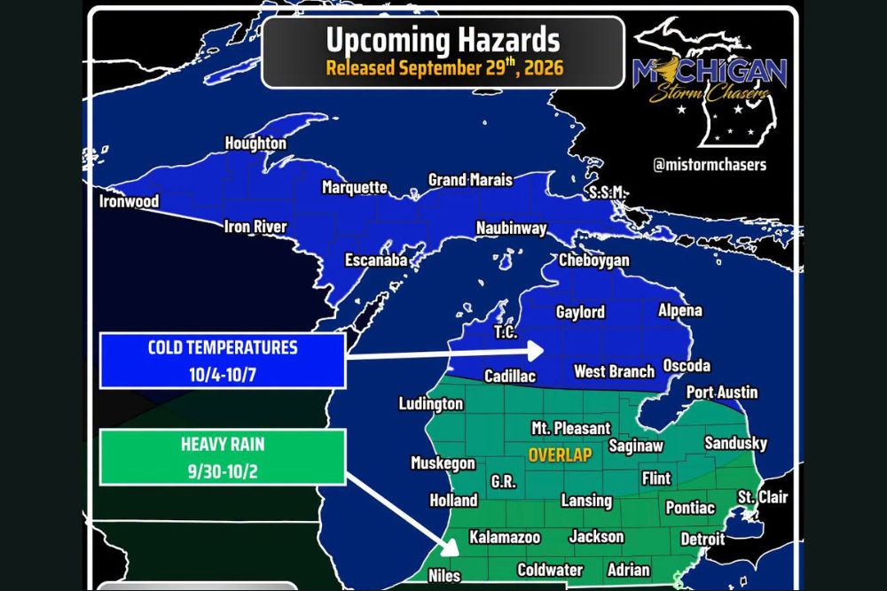
The heavy rain threat runs from September 30 through October 2. It covers the southern half of the Lower Peninsula, from the Indiana and Ohio borders north to roughly a line from Muskegon through Mount Pleasant, Saginaw and Sandusky. That zone includes Grand Rapids, Holland, Kalamazoo, Lansing, Jackson, Flint, Pontiac, Detroit, Coldwater, Adrian, Niles and St. Clair.
Totals are expected to vary widely, from about 0.5 inch in lighter areas to 3 inches or more where heavier bands set up. Repeated rounds of rain could lead to ponding on roads, standing water in low-lying areas and rising creeks and rivers, especially in urban areas around Detroit, Grand Rapids and Lansing.
Polo’s Remnants Supply the Moisture
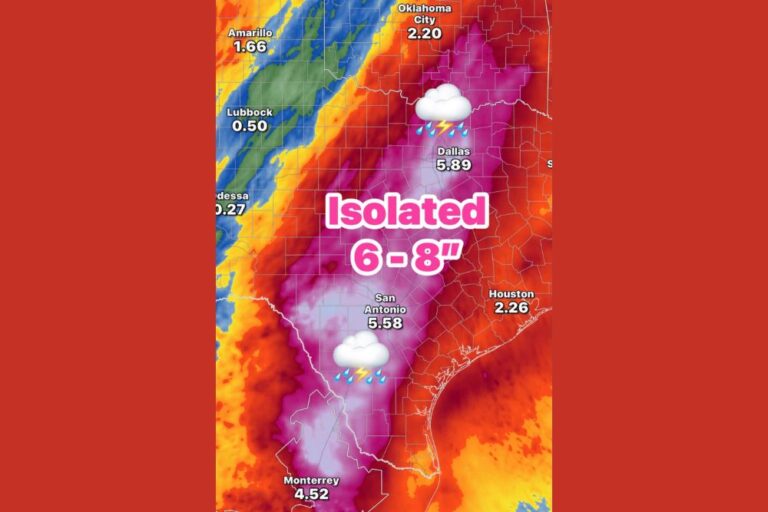
The heavy rain is being fueled by tropical moisture from the remnants of Hurricane Polo. After forming in the Pacific, Polo’s leftover moisture has been pulled northeast across the country and is now feeding into a storm system moving through the Great Lakes.
Tropical moisture like this can produce high rain rates, meaning a lot of rain can fall in a short time. That’s why rain totals could top 3 inches in some spots, even though other areas nearby may see much less.
Cold Temperatures Arrive October 4 Through October 7
After the rain, colder air is expected across Michigan from October 4 through October 7. The cold zone covers the entire Upper Peninsula, including Ironwood, Houghton, Marquette, Iron River, Escanaba, Grand Marais, Naubinway and Sault Ste. Marie.
It also covers northern Lower Michigan, including Traverse City, Cheboygan, Gaylord, Alpena, Cadillac, West Branch, Oscoda and Ludington. It reaches south through central Michigan, down to Muskegon, Grand Rapids and Lansing, and east to the Thumb, including Port Austin.
Highs in the 40s to Low 60s
By the end of the weekend, daytime highs across Michigan are expected to range from the 40s in the north to the low 60s farther south. That would be a big drop from early autumn warmth and one of the first real tastes of late fall this season.
Overnight lows across northern Michigan and the Upper Peninsula may drop below freezing for several nights in a row. That means more frost advisories and freeze warnings are likely, which could end the growing season in many northern communities.
Overlap of Both Hazards in Central Michigan
A key feature of this forecast is the overlap of both hazards across the middle of the state. Communities such as Mount Pleasant, Saginaw, Grand Rapids, Lansing, Muskegon, Flint and parts of the Thumb could get heavy rain through Friday and then cold temperatures early next week.
Getting rain and then cold air in quick succession means wet ground could stay soggy longer, and early-morning temperatures could fall low enough for patchy frost in open, rural areas.
How to Prepare
Residents across southern Lower Michigan should clear gutters and storm drains, check sump pumps, and avoid driving through flooded roads during the heavy rain. Gardeners and farmers across northern Michigan and the Upper Peninsula should get ready to protect sensitive plants, bring potted plants indoors and cover crops ahead of freezing nights.
Keep checking updated forecasts through the week as timing and totals come into sharper focus. For continuing coverage of Michigan’s heavy rain and cold snap and weather developments across the United States, visit diamondprowl.com.