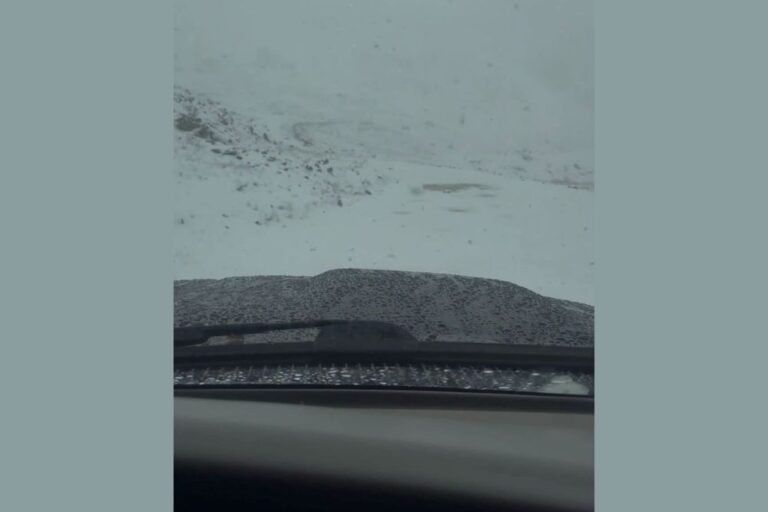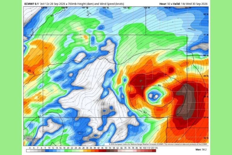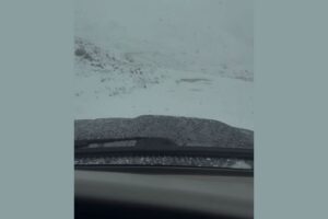
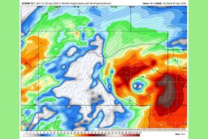
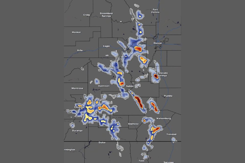
COLORADO SPRINGS, CO — Early-season snow is set for Colorado’s high country this week. Moisture from the remnants of Polo is getting pulled into a low-pressure system moving over the state. If current model trends hold, the higher elevations of the central and southern mountains south of Interstate 70 could pick up 10 to 18 inches of snow from today through Thursday. That’s mainly above 11,000 feet, and localized totals could top 2 feet. The heaviest snow is expected over the San Juan Mountains, the Sangre de Cristo Mountains, the Wet Mountains and Pikes Peak.
Heaviest Snow Targets the Southern and Central Mountains
Forecast snowfall maps show the most intense totals across the southern half of Colorado’s mountain terrain. Some of the brightest bands on the map run along the Sangre de Cristo Mountains southeast of Salida, and along the Wet Mountains west of Pueblo. That’s where the deepest snow is most likely.
Pikes Peak, just west of Colorado Springs, also stands out, with a concentrated area of heavy snow over the summit and upper slopes. Farther south, heavier bands appear in the Spanish Peaks and the southern Sangre de Cristo range west of Walsenburg and Trinidad, reaching toward the New Mexico border.
San Juan Mountains Line Up for a Big Early Season Snow
In southwest Colorado, the San Juan Mountains are expected to get widespread snow, and several pockets of heavier totals show up around Telluride, Silverton and Ouray. The high peaks and passes between Telluride, Lake City and Creede are in line for some of the season’s first significant accumulations.
Snow also extends south toward the Wolf Creek Pass area and the mountains northeast of Durango. Travelers heading over U.S. Highway 550, U.S. Highway 160 or other high mountain routes should be ready for winter driving conditions at the highest elevations.
Central Mountains and Front Range Also See Snow
Farther north, the central mountains also show notable snow. That includes the Sawatch Range near Leadville and west of Salida, and the high terrain between Gunnison and Buena Vista. A concentrated band of heavier snow appears southwest of Denver in the Mount Evans area and the high peaks along the Front Range, with more snow south toward the Tarryall and Kenosha Mountains.
Along the northern Front Range, lighter snow bands stretch north toward Rocky Mountain National Park and the mountains west of Fort Collins. Most of these totals are expected to stay concentrated in the highest terrain, well above the populated valleys and foothills.
Wet Snow Possible on I-70 Tuesday Night
Along the Interstate 70 corridor, some wet snow is possible Tuesday night into Wednesday, mainly above 9,000 feet between Vail Pass and Silver Plume. That stretch includes the Eisenhower–Johnson Memorial Tunnel area and Loveland Pass. Early-season snow on warm pavement can quickly turn to slush, cutting traction and making driving tricky, especially at night.
Drivers crossing the Continental Divide on I-70 should check road conditions before heading out, slow down, and make sure their vehicles have adequate tires for mountain travel.
Why Polo’s Moisture Matters
The remnants of Polo are adding a deep supply of moisture to the region. As that tropical moisture gets wrapped into the low-pressure system over the Four Corners and southern Rockies, it helps boost snowfall at the highest elevations. Cold air aloft is expected to support snow above timberline, while lower elevations are more likely to see rain or a rain-snow mix.
That combination of tropical moisture and a slow-moving low is why the forecast calls for such heavy totals in the southern and central ranges this early in the season.
Travel and Backcountry Safety
Hikers, hunters and backcountry travelers heading into the high country this week should be ready for rapidly changing conditions, low visibility, deep snow and cold temperatures at higher elevations. Trails above 11,000 feet could quickly become snow-covered and difficult to navigate. Anyone planning trips to Pikes Peak, the San Juans or the Sangre de Cristos should check forecasts and road status first.
Forecast details may still shift depending on how the low-pressure system and Polo’s moisture evolve, so keep an eye on updates through Thursday.
For continuing coverage of Colorado mountain snow and weather developments across the United States, visit diamondprowl.com.