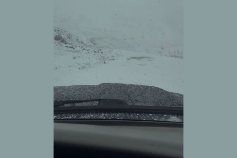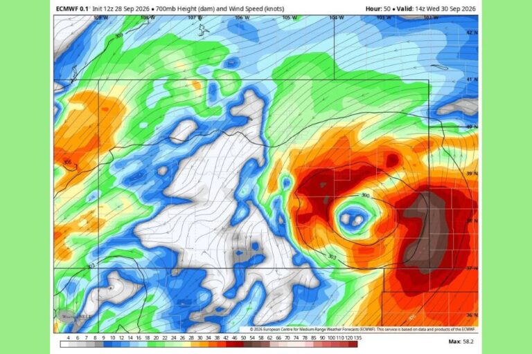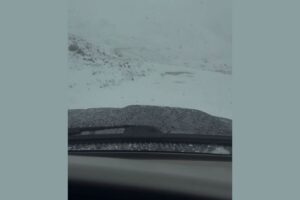
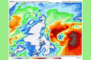
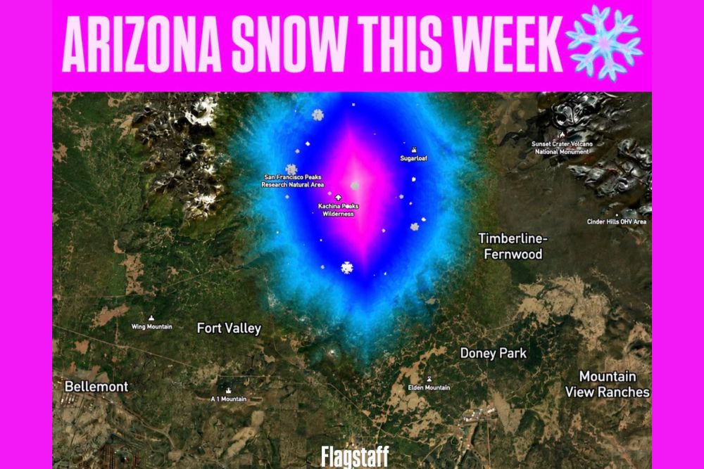
FLAGSTAFF, AZ — A potent early-fall storm bringing widespread heavy rain to Arizona is also cooling things down enough for some snow at the highest elevations of the San Francisco Peaks near Flagstaff. The chance of snow runs through Tuesday night, with rain mixing with and changing to snow on the higher terrain around Arizona Snowbowl as temperatures drop into the 30s. Rain-snow mix or all-snow conditions may continue into early Wednesday before precipitation ends and skies clear. Across the rest of northern Arizona, the bigger concern is heavy rain and flash flooding, and a Flood Watch remains in effect for most of the state.
Snow Focused on the Highest Peaks
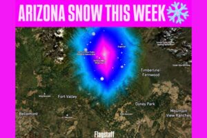
The forecast snow map centers the heaviest snow potential on the upper slopes of the San Francisco Peaks, including the Kachina Peaks Wilderness and the San Francisco Peaks Research Natural Area. The most concentrated area covers the summit ridges, Arizona’s highest terrain, where colder air aloft is most likely to support snow.
Snow potential also extends toward Sugarloaf on the northeast side of the peaks. The surrounding lower terrain, including Fort Valley, Timberline–Fernwood, Doney Park and Flagstaff itself, sits outside the main snow zone and is more likely to see rain.
Not a Major Snowstorm for Snowbowl
This setup does not look like a significant accumulating snowstorm for Arizona Snowbowl. The lower parts of the resort should see mainly rain. The upper mountain, and especially the highest elevations of the San Francisco Peaks, could see periods of wet snow with some accumulation.
That’s most likely when colder air moves overhead and precipitation gets heavy enough to temporarily lower the snow level. Heavy precipitation can drag colder air down from above and briefly turn rain to snow at elevations that would otherwise stay too warm. As a result, snow may come and go, with accumulations favoring the highest ridges.
Temperatures Drop Into the 30s at Higher Elevations
Temperatures across the higher terrain near Arizona Snowbowl are expected to drop into the 30s during the overnight hours, including Tuesday night. That cooling is what allows rain to mix with and change to snow on the upper mountain.
The rain-snow or all-snow potential continues into early Wednesday. After that, precipitation is expected to end and skies should clear across the Flagstaff area, bringing a crisp, cool start to the day with fresh snow possible on the highest peaks.
Heavy Rain and Flash Flooding Remain the Bigger Threat
Away from the peaks, heavy rain and flash flooding remain the main concern across northern Arizona. Tropical moisture interacting with the early-fall storm could produce 1 to 3 inches of rain, with locally higher amounts where thunderstorms develop and where terrain enhancement squeezes extra rain out of the moisture-rich air.
Rain like that can quickly overwhelm dry washes, canyons and burn scar areas, sending fast-moving water through places that are usually dry. Residents and visitors near Flagstaff, Sedona, the Mogollon Rim and other parts of northern Arizona should stay alert for rapidly rising water.
Flood Watch in Effect for Most of Arizona
A Flood Watch remains in effect for most of Arizona as the storm continues. A Flood Watch means conditions are favorable for flooding, and residents should be ready to act quickly if warnings are issued. Avoid low-water crossings, never try to drive through flooded roads, and stay out of washes and slot canyons during and after heavy rain.
Hikers heading into the San Francisco Peaks, the Kachina Peaks Wilderness or nearby trails should be ready for cold, wet conditions, reduced visibility and possible snow-covered trails at higher elevations. Anyone traveling on Interstate 17, Interstate 40 or U.S. Highway 180 should also allow extra time and watch for water on the roadway.
Clearing Skies After Early Wednesday
Once the storm moves out, drier and clearer conditions are expected to return across northern Arizona after early Wednesday. The San Francisco Peaks could show a light coating of fresh snow on their highest slopes, an early sign of the changing season in Arizona’s high country.
For continuing coverage of Arizona snow, flooding and weather developments across the United States, visit diamondprowl.com.