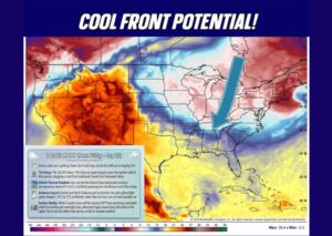
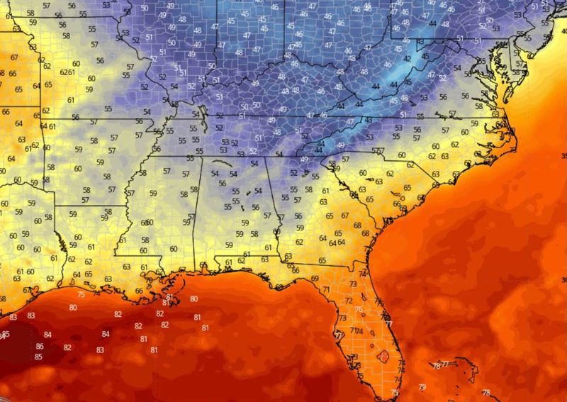
ATLANTA, GA — Long-range weather models are hinting at the possibility of the season’s first meaningful fall air pushing into portions of the South around October 1st, with morning temperatures potentially dropping into the 40s and 50s across parts of the region. The pattern would mark a significant shift from the warm conditions that have dominated much of the South throughout September, though forecasters emphasize the outlook remains far enough out that specific details are still likely to change.
Northern Tier of the South Could See Coldest Readings
Model guidance points to the coolest air settling across the northern portions of the South, including areas of Tennessee, Arkansas, and northern Mississippi and Alabama, where morning lows could fall into the 40s in some locations. This would represent one of the more significant early-season cool downs of the year for these areas, following a stretch of persistent warmth that has characterized much of September across the region.
Central and Southern Areas See Milder Cool Down
Farther south, temperatures are expected to moderate into the 50s across a broad stretch of the South, including portions of Louisiana, central Mississippi, and Georgia. While not as dramatic as the cooler readings expected farther north, this would still represent a meaningful departure from the warm, humid conditions that have persisted through much of the late summer and early fall across these areas.
Florida and Gulf Coast Remain Warm
Consistent with typical early-season cool-down patterns, Florida and the immediate Gulf Coast are expected to remain considerably warmer than the rest of the region, with temperatures holding in the 70s even as cooler air spreads across the interior South. Florida’s peninsula geography and the surrounding warm Gulf waters typically keep the state insulated from early fall cool downs that reach other parts of the region well before they arrive there, if they do at all.
Confidence Remains Low This Far Out
Forecasters stress that this outlook is still rooted entirely in long-range model guidance, meaning both the timing and the exact temperatures involved could shift considerably in the coming days. Long-range forecasts of this nature carry substantially more uncertainty than short-term outlooks, and meteorologists caution against making significant plans based on the current data. Updated guidance will be needed as October 1st approaches to determine whether this cooler pattern verifies as currently depicted.
For continuing coverage of severe weather events and critical storm analysis across the United States, visit diamondprowl.com.