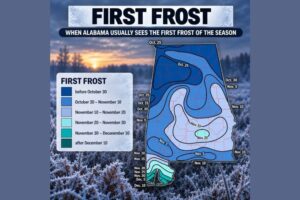
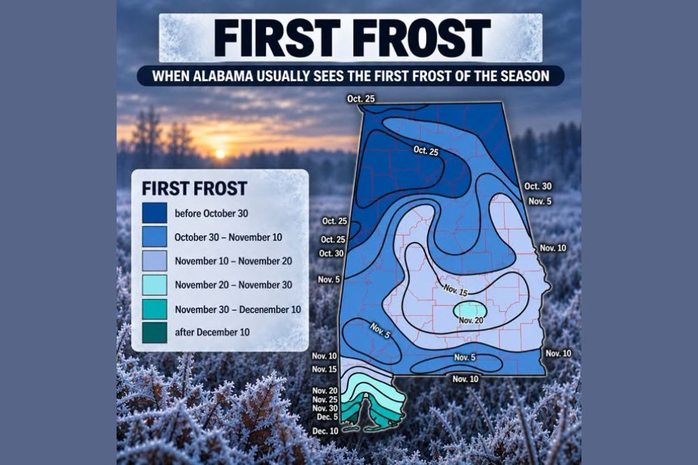
HUNTSVILLE, AL — Alabama residents are officially about a month out from the annual scramble to watch overnight temperatures for the season’s first frost, and new data shows that the timing of that first frost has been steadily shifting later over the past six decades. Historically, Alabama’s first frost has shown up between late October and early November, but over the last 60 years, that chilly air has been arriving noticeably later, pushing first frost dates back by nearly a full week in both Huntsville and Birmingham.
A Clear Shift in Both Major Cities
Data tracking the timing of the first 34-degree morning in Huntsville shows the typical date shifting from October 27 to November 3, a shift of roughly one week later compared to historical patterns. Birmingham shows a similar trend, with its typical first 34-degree dip moving from October 31 to November 6 over the same 60-year period. This consistent pattern across both major Alabama cities suggests a genuine, sustained shift rather than a random year-to-year fluctuation in frost timing.
Why 34 Degrees Instead of 32
Meteorologists explain that frost formation doesn’t require the official air temperature to reach the traditional freezing mark of 32 degrees. On calm, clear nights, a process called radiational cooling allows the ground, rooftops, and car windshields to drop noticeably colder than the air measured a few feet above the surface. This means residents can easily wake up to a frosty lawn even when the official thermometer reading shows 38 degrees, making 34 degrees a more practical benchmark for tracking when frost conditions become likely.
Local Terrain Makes Frost Timing an Inexact Science
Beyond the broader citywide trends, meteorologists emphasize that frost timing remains highly dependent on local terrain, adding significant variability even within the same general area. Whether a location sits tucked down in a hollow or perched up on a ridge can change the local temperature by several degrees, since cool air naturally sinks and settles into low-lying spots first. This means residents in valleys or low areas will typically experience frost before those living on higher ground, even within the same neighborhood.
Historical Extremes Show Wide Variability
Looking at the full historical record since 1965, Huntsville’s first 34-degree morning usually lands between October 18 and November 10, though the earliest on record occurred on October 2, 1984, while the latest holdout came on November 26, 2004. Birmingham typically trails North Alabama by about five days, with a usual window of October 22 to November 16. Its earliest recorded first frost came on October 7, 1991, while the latest recorded holdout stretched all the way to November 30, 2020, illustrating just how much year-to-year variation can occur even within an established long-term trend.
Still About a Month Away But Worth Watching
Despite the shifting trend toward later first frost dates, meteorologists note that Alabama’s first genuinely cold morning remains about a month away from the current point in the calendar. Still, they emphasize that it pays to begin keeping a close eye on the forecast once October arrives, given the wide historical range of possible dates and the practical implications for gardeners and residents looking to protect sensitive plants before that first frosty morning eventually arrives.
For continuing coverage of severe weather events and critical storm analysis across the United States, visit diamondprowl.com.