

BIRMINGHAM, AL — The extreme, record-smashing September heat that has gripped Alabama for weeks appears to finally be breaking, with forecasters pointing to an approaching cold front expected to bring meaningful relief by the middle to latter part of next week. Birmingham and Tuscaloosa each topped out at 99 degrees on Friday, a mark forecasters believe likely represents the final peak of this extended heat stretch before conditions begin trending back toward what is typical for late September.
Cold Front Signals the Turning Point
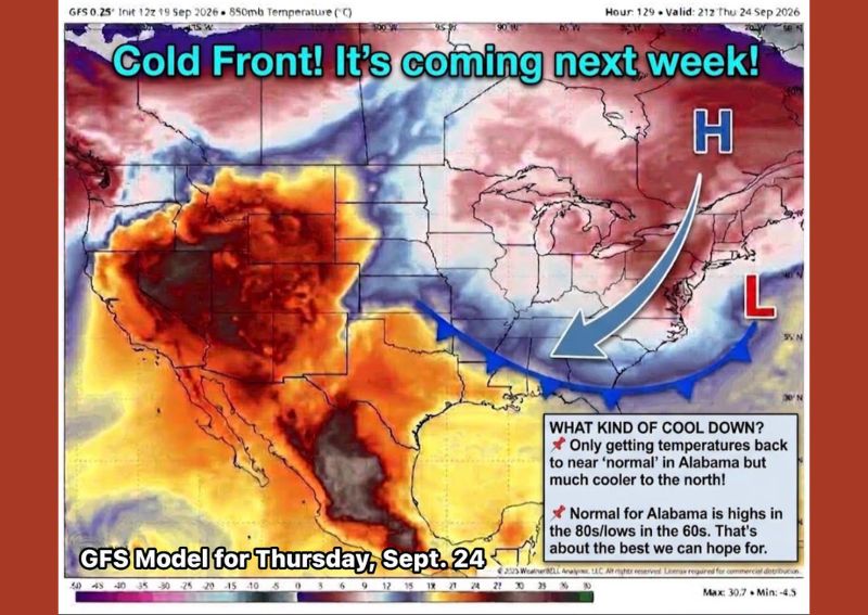
A weather model analysis valid for Thursday, September 24, shows a cold front dropping southward across the eastern half of the country, arriving in tandem with a building high pressure system over the Great Lakes region. While sweater weather is not yet on the way, forecasters describe this system as the clearest signal yet that the extreme heat pattern dominating Alabama throughout much of September is finally coming to an end.
Not a Dramatic Cool Down but a Return to Normal
Forecasters are careful to frame the incoming relief accurately: this pattern shift is not expected to deliver a dramatic cool down but rather a return to conditions closer to seasonal norms for late September. Birmingham and Huntsville typically run around 81 degrees for a high this time of year, while Montgomery tends to sit slightly warmer, closer to 84 degrees, meaning even the improved conditions will still feel like genuine late-summer warmth to many residents.
Overnight Lows Also Expected to Moderate
Alongside daytime highs returning closer to normal, overnight low temperatures are also expected to settle into a more typical range as the pattern shifts. Areas including Tuscaloosa, Decatur, Cullman, Gadsden, and The Shoals generally see overnight lows fall into the upper 50s to low 60s during a normal late September, a welcome change from the persistently warm overnight conditions that have accompanied the recent record heat stretch.
Much Cooler Air Expected Farther North
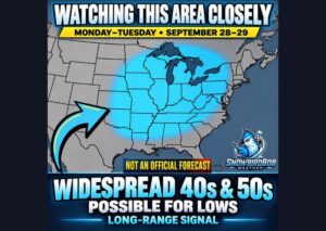
While Alabama is expected to see conditions return only to near-normal levels, the incoming cold front is forecast to deliver considerably more dramatic cooling farther north across the country. The temperature contrast illustrated in current model data shows a sharp divide, with much cooler air settling in across the Midwest and Great Lakes region even as Alabama simply returns to a more typical, if still warm, late-September pattern by the time the front fully arrives.
For continuing coverage of severe weather events and critical storm analysis across the United States, visit diamondprowl.com.